Twenty years ago I started mapping the World of Greyhawk for my own campaign, and then decided to share my work on the then emerging Internet. The rest is an history most of you who read this already know about so instead of looking backwards I'm going to try and look forward. I've decided to start all over again. Yes I mean starting all over again with mapping the Flanaess, and its surroundings. What on Oerth can make me come to this conclusion?
I want to do this again for three different reasons. The first one is that I know have the experience needed to do it properly. Second, technology is now beginning to be powerful enough to make it possible to do it right. Thirdly I'm so passionate about it that when I see a way to make a much better job I just have to do it!
It took me more than five years of full time work last time, and to remake it the way I want to is not going to much easier. My estimate for this is for it to take around 5 years of work. How long that will actually take depends on how much time I can devote to it. If I do this as a hobby like last time it will be a decade or so. Thankfully there is a way for you to make it possible for me to devote more time to it, support my Patreon. With a little bit more support mapping the world of Greyhawk will be an ongoing project that I can treat as an commissioned project, with more support it can be my major project or maybe even a full time undertaking. We will see how that develop, it will be my hobby and passion anyway, and also be a big part of my research and development. so I will work on one way or the other.
So what are goals this time around?
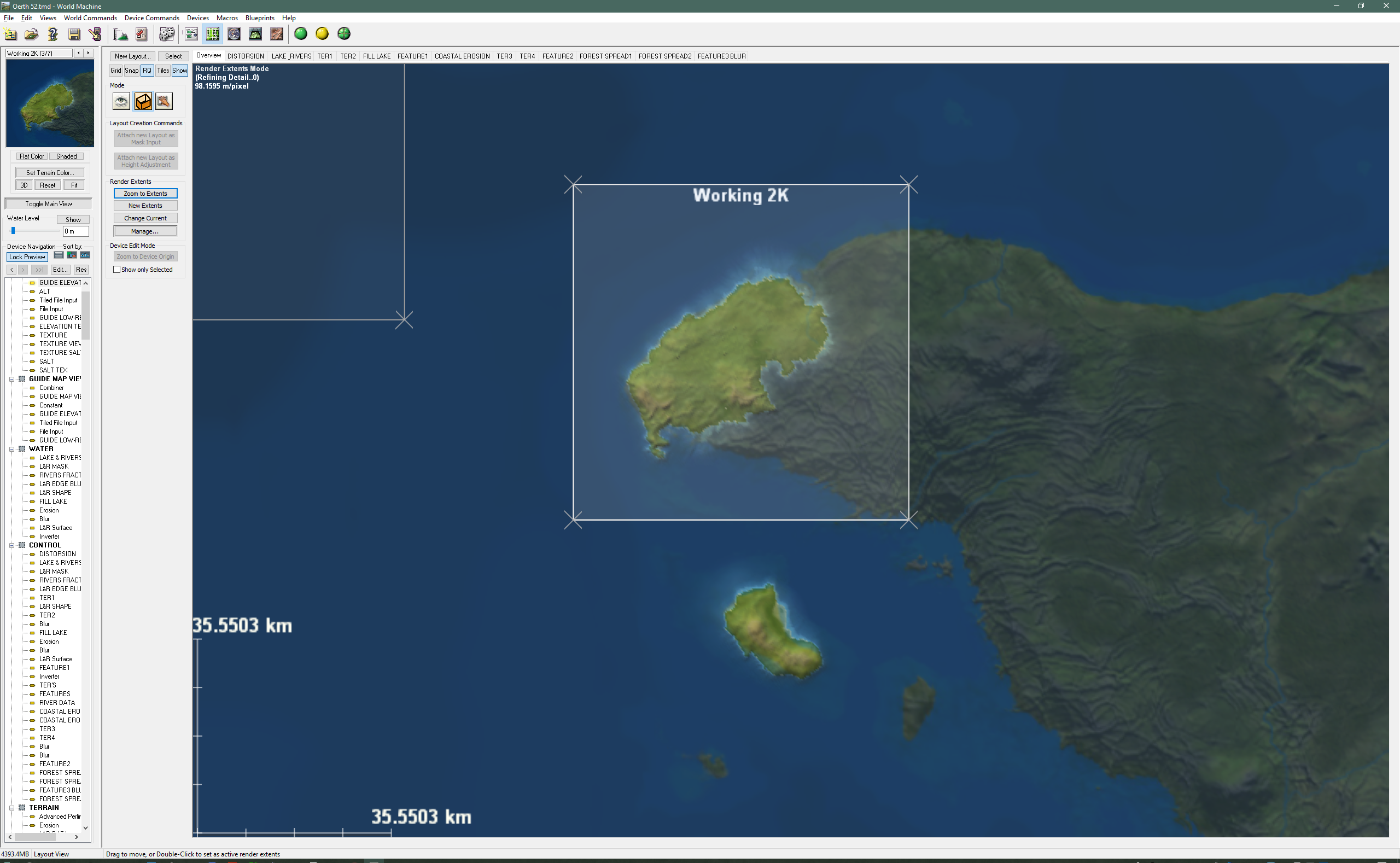
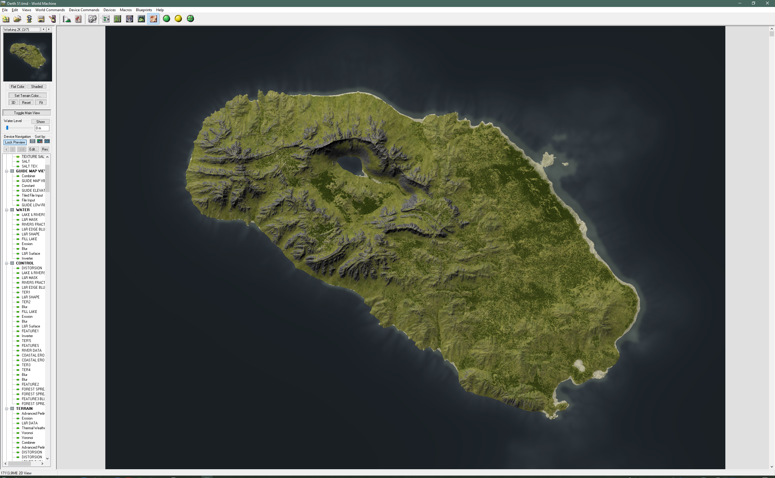
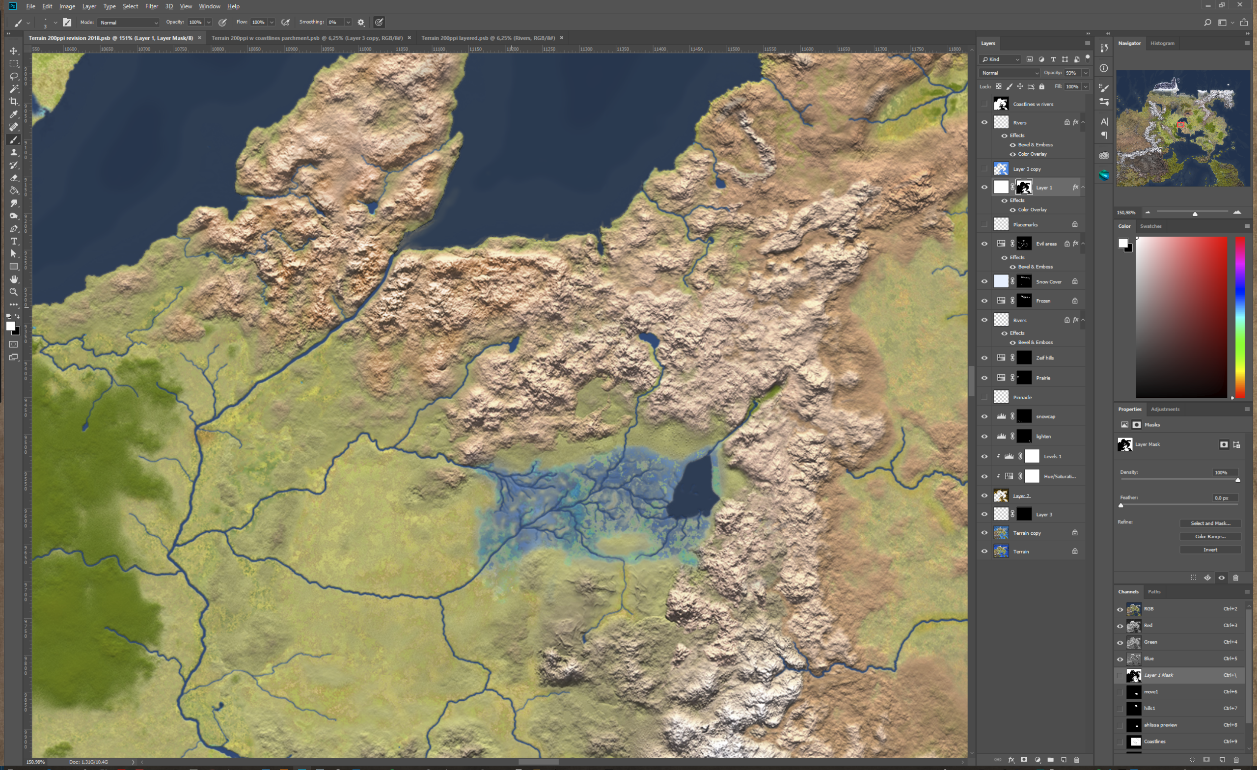
Full elevation model with increased detail to 100/pixel. Enough to make it useful for outdoor adventures by visualizing what an area actually looks like. This can also serve as a solid base for city and encounter maps to be developed that will match the surrounding terrain. Below is an example of the difference in resolution and a proper elevation model.

Global Precision, the Flanaess needs to be accurately placed this time to make it possible to expand the project to cover other parts of Oerth as well.

Meta data part of the project from the start. I want to make use of modern GIS (Geographical Information System) standards to make it possible to keep track of things and form a base for better forms of presentation and varied use.
Presentation and format needs to be a major focus for this project. The current map is only top down in two formats, JPG and PDF. Next time the data needs to be usable in many more ways. I envision things like game engines, GIS tools, RPG campaign tools like Realm Works, webb based maps and more.
To go along with the data should be a set of graphical symbols 2D and 3D, graphical elements fonts and more specially designed to present the World of Greyhawk at its finest.

All my Greyhawk content have been free to download and published under the Creative Commons -by -nc license. This going to be the case going forward as well. If Wizard of the Coast changing their stance of Greyhawk fan created content, I might have to look into what they offer, but that is only hypothetical and my guess is that it will remain so for the foreseeable future. Creative Commons -by -nc, gives you the permission to use, alter and share the content for non commercial purposes as long as the source is indicated.
The main goal with this is that whatever comes out of this should be used by Greyhawk fans and others as much as possible and serve as a platform for anyone who wants to run games set in Greyhawk. That means that it needs to be accessible, modifiable and sharable.
How to try and tackle this huge undertaking?
I'm in the planning stage right now, and there are several bits and pieces that needs to fall in place before actual work can begin. This is what most of this year will be occupied with. 2018 revision of the existing map will be more thorough than previous years to make it more compatible with the future content. This is important since it will be years until all of it can be replaced with a new version, so the old have to live side by side with the new as good as possible. My existing map is also my main guide when mapping it again, and we want as good of a guide as possible.
The Oerth Geo Referencing project is what I will call my effort to try and place the Flanaess properly on Oerth. I will try and use all the data from Greyhawk canon sources as well as some of the great pieces written on the topic and try and implement them using GIS tools.

In order to set both standards and work-flow small test areas needs to be mapped. The first one out is the Lendore Isles. Islands are good pilot areas since they are separate from the mainland and can more easily be imported and merged with future content.
These three parts will probably keep me busy this year, and if there are time over there are always interesting tidbits to dig into. things like city sketches, heraldry and touch up other old stuff hidden in various places...